Retail and warehouse complex, Podolsk
Engineering surveys for the design of a retail and warehouse complex: main warehouse, five roadside service buildings, boiler house, treatment facilities and fire water tanks on a 13 ha site by the M-2 'Krym' highway.


Objective
We completed geotechnical, environmental and topographic surveys to prepare design documentation for a retail and warehouse complex on a 13 ha site near Milestone 31 of the M-2 'Crimea' motorway in the Podolsk urban district. The design comprises a main 192 × 138 m warehouse on pad foundations with support loads up to 2500 kN, five multi-purpose roadside service buildings, a boiler house, local treatment facilities and fire water tanks on raft foundations. The client is a private investor (private foundation), with design carried out by a third-party design organisation.
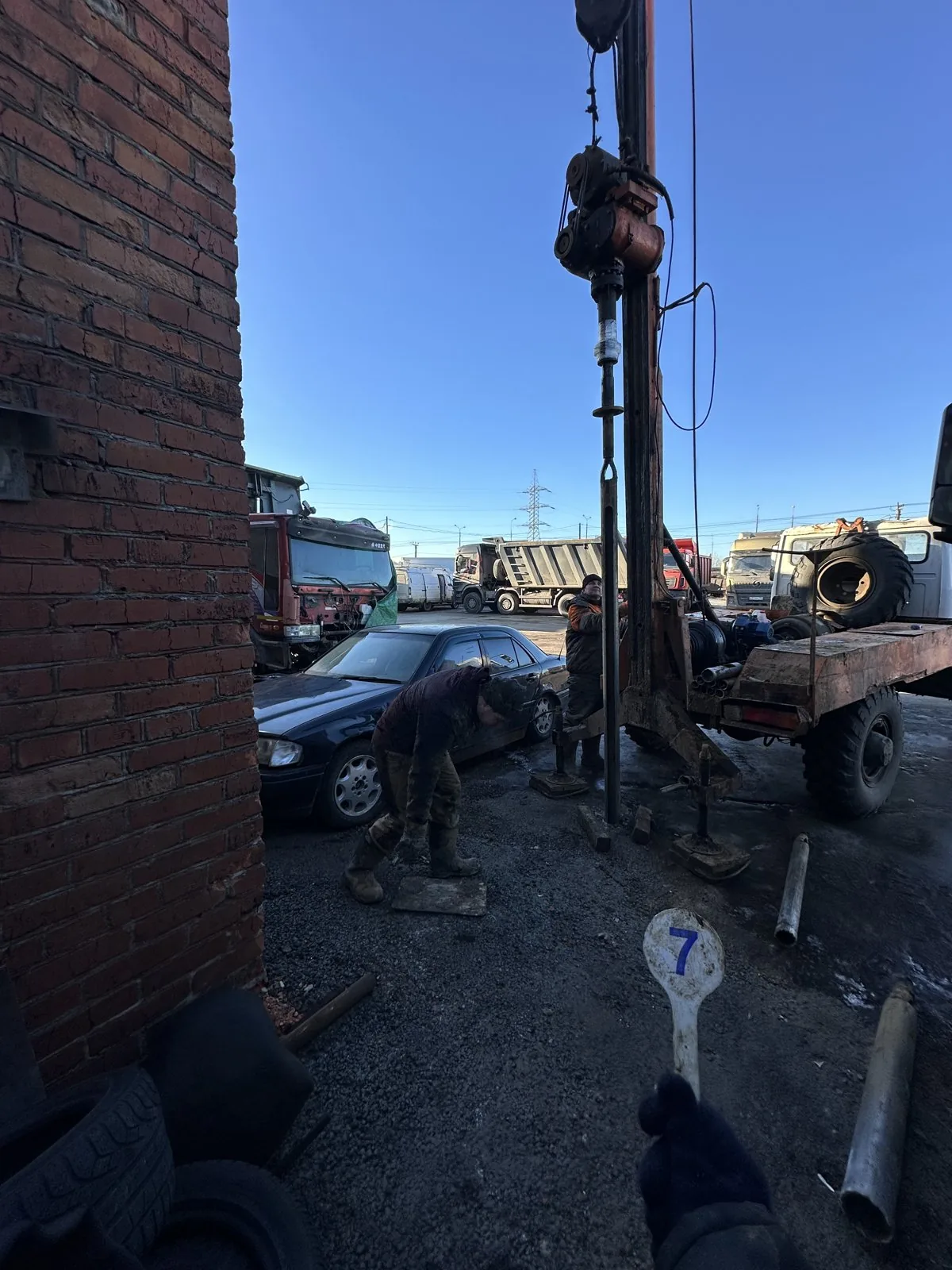
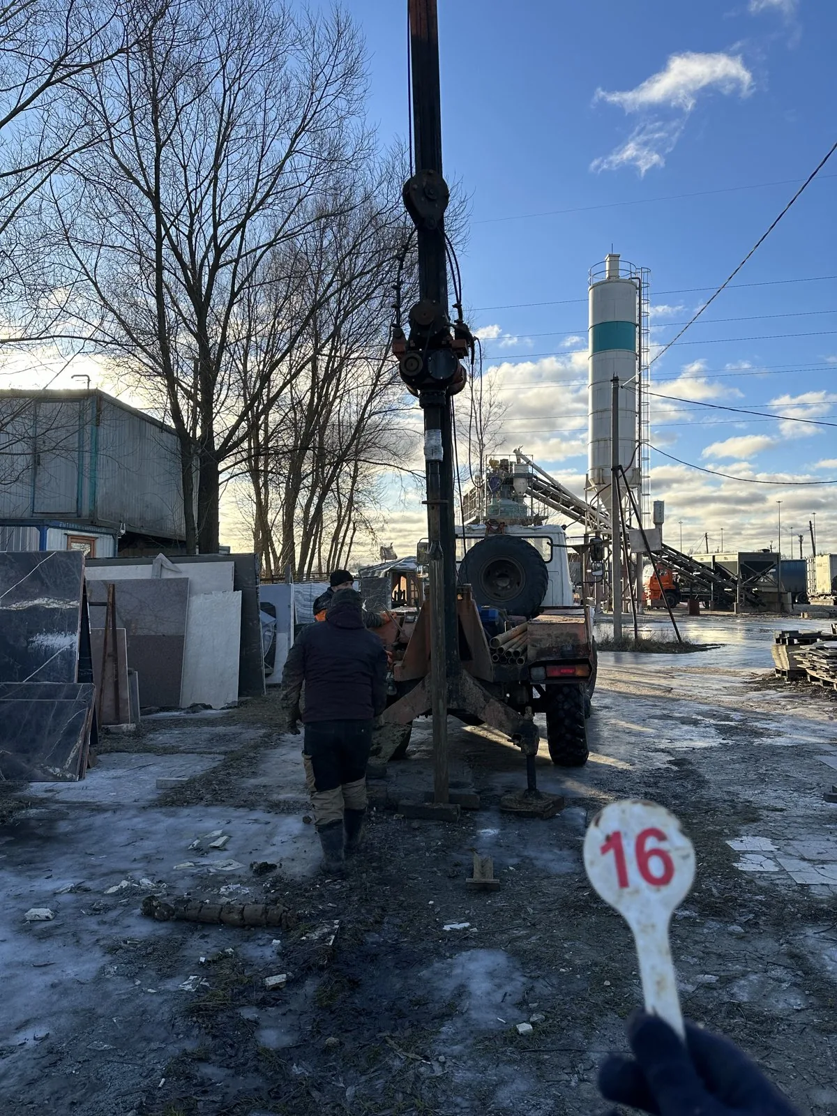
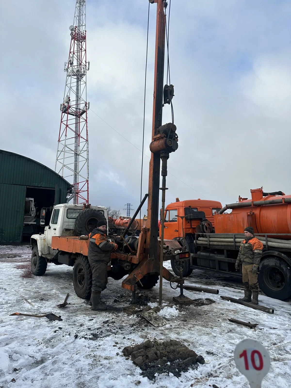
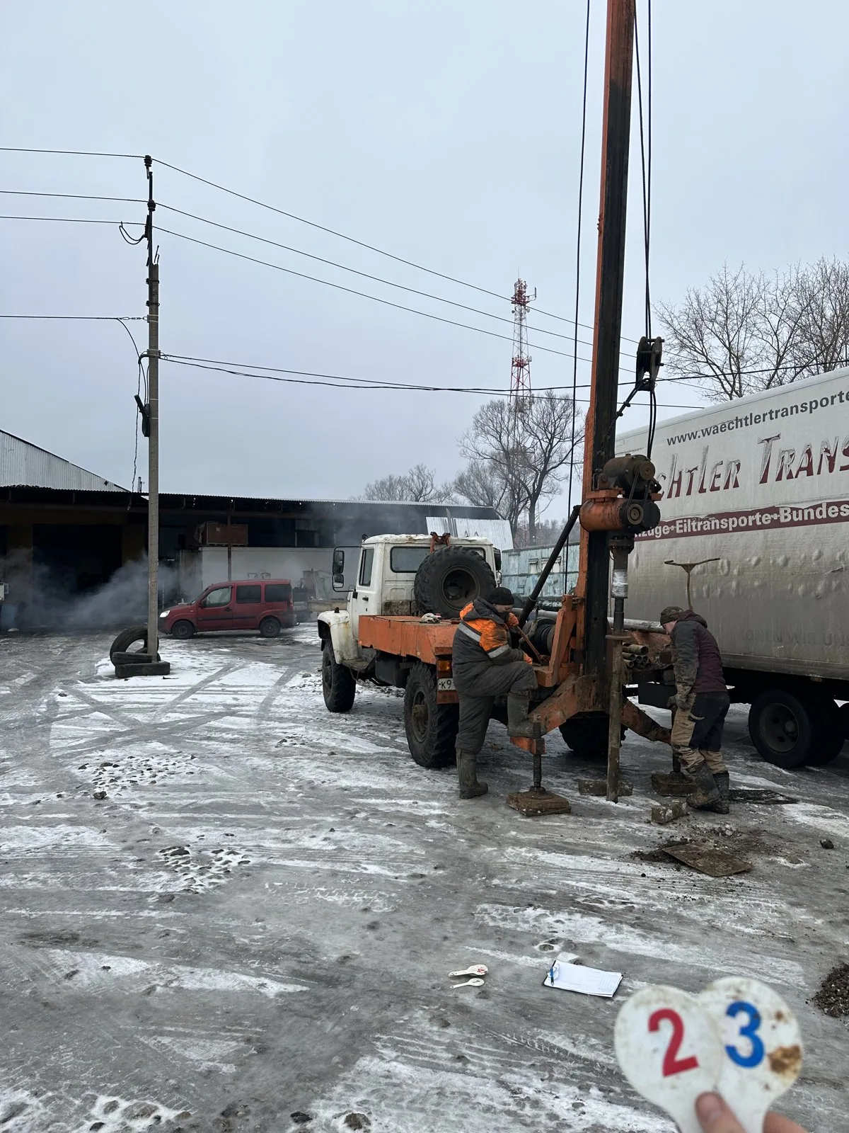
Fieldwork was carried out in three stages: in January 2025, 24 boreholes to 16 m depth were drilled for Buildings 1 and 6; in November 2025 and February 2026, a further 24 boreholes to 11 and 17 m depth were drilled for the remaining buildings, boiler house, treatment plant and tanks. The site is built-up and anthropogenically disturbed: made ground containing construction debris up to 1.9 m thick covers the entire surface, with patches of concrete and asphalt; prior to drilling, the site was cleared to allow rig access.
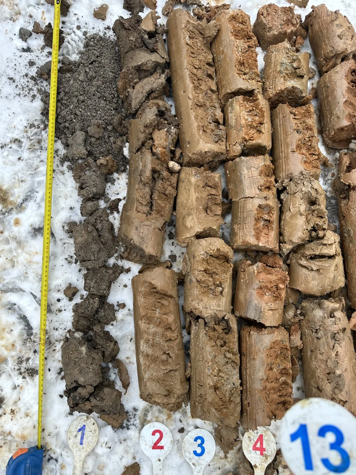
Boreholes of 127 mm diameter were drilled using a PBU-2 rig with full core and undisturbed sample recovery and groundwater level measurements; cone penetration testing (CPT) was performed separately. We had already completed the topographic surveys on the site back in 2024 for the previous developer: a 17.2 ha topographic survey including utility tracing, inspection and a tree-by-tree survey, with the report registered in the ISOGD of the Moscow Region. In 2025, we surveyed an additional 5.1 ha along the incoming utility corridor: four survey control points were established, and the survey was carried out using RTK satellite equipment. Utilities were agreed with nine operating organisations, including gas pipelines via the Regional Geographic Information System of the Moscow Region (RGIS MO).

Scope of work and deliverables
GTGeotechnical surveys
Scope of work
- 48 boreholes 11 to 17 m deep — 666 linear metres of drilling in three stages
- 3 soil cone penetration tests (CPT)
- sampling of 86 undisturbed cohesive soil cores and 10 disturbed sand samples for laboratory testing, plus 6 soil samples and 3 groundwater samples for chemical analysis and corrosivity towards concrete and steel
- 33 triaxial compression tests and 27 direct shear tests, full suite of physical property tests on 96 specimens
- reconnaissance survey of the territory — 2 km, collection and analysis of archival materials from previous surveys
Results
- Geotechnical conditions — complexity category II (medium).
- Beneath made ground up to 1.9 m thick, three engineering geological units have been identified down to a depth of 17 m: firm cover clay (EGU-2, deformation modulus 18 MPa), firm moraine sandy clay (EGU-3, 25 MPa) and medium-dense fine fluvioglacial sand (EGU-4, 26 MPa).
- Groundwater was encountered only in individual boreholes at a depth of 5.0–6.6 m within sand lenses; the site is not waterlogged, though perched water may occur in the made ground.
- Soils are non-aggressive to concrete and reinforcement, but corrosivity to steel is high in clays and moderate in loams; groundwater is moderately aggressive to metal — protection of underground structures is recommended in the design.
- Standard frost penetration depth is 1.03 m for clays and loams and 1.29 m for made ground; the soils have low frost susceptibility. No karst hazard — Stability Category VI.

- Embankment / Fill Sand with construction debris and crushed stone; silty sand with sandy silty clay (tQIV)
- EGU-2 Brown firm cover clay (pQIII)
- EGU-3 Reddish-brown sandy clay, very stiff, glacial till (gQIIms)
- EGU-4 Fine sand, medium dense, fluvioglacial (f,lgQI-IIds-ms)
- Groundwater level

Legend
- geotechnical borehole, number and depth, m
- cone penetration test (CPT) point
- geotechnical cross-section line, number
- footprint of the proposed structure
TSTopographic surveys
Scope of work
- 1:500 engineering topographic plan for a 17.2 ha site (2024) and an additional 5.1 ha along the route (2025), contour interval — 0.5 m
- horizontal and vertical survey control network: 4 temporary markers and 20 survey stations (tied to MOBTI base stations; coordinate system — MSK-50, height system — Baltic 1977)
- detection and tracing of underground and overhead utilities, tree-by-tree survey
- approval of the completeness and accuracy of utility plotting with operating organisations (gas, power grids, water utility, district heating, telecoms); registration of the report in the Moscow Region ISOGD
Results
- Ground surface elevations are 152–168 m AOD; the terrain has been modified by human activity and slopes in the eastern part.
- Gas pipelines, power cables, water mains, district heating pipes, telecommunications lines and trees are plotted on the plan; the completeness and accuracy of plotting have been confirmed by the utility owners.
- The technical report on the site survey was registered in the ISOGD of the Moscow Region on 02.10.2024; the additional survey plan was agreed with the gas distribution company via the RGIS of the Moscow Region on 27.10.2025.


ESEnvironmental surveys
Scope of work
- 12 topsoil and subsoil samples for chemical analysis: heavy metals, petroleum hydrocarbons, benzo(a)pyrene; 3 samples each for microbiology and parasitology
- radiation survey of 13 ha: gamma survey, dose rate at 50 points, radon flux density at 65 points
- surface water and bottom sediment sample from the Bezymyannaya River
- 3 km geo-environmental walkover survey, enquiries to regulatory authorities, factual data map and environmental constraints map
Results
- Soils and ground fall into the 'permissible' contamination category: heavy metals, petroleum hydrocarbons and benzo(a)pyrene do not exceed 0.25 MPC; microbiological and parasitological results are 'clean'. The excavated ground may be used in construction without restriction.
- The radiation environment is satisfactory: gamma background is 0.08–0.14 µSv/h, and radon flux density is 16–25 mBq/(s·m²) against a permissible limit of 250.
- Background concentrations of air pollutants do not exceed 0.44 MPC.
- The site partially falls within the water protection zone and riparian buffer strip of the Bezymyannaya River, Subzone 7 of the Domodedovo Airport environs and the 30 km zone of Ostafyevo Aerodrome, and overlaps State Forest Fund land by 111 m²; there are no specially protected natural areas or cultural heritage sites.


Site photos

Result
The client received technical reports on geotechnical, environmental and topographic surveys for the complex design, with the engineering topographic plan approved by utility owners. A positive non-state expert review conclusion was obtained.
This is just one of our projects: every year our specialists carry out surveys on 40–50 sites in Moscow, the Moscow Region, and across Russia.
Send your technical brief — we will price it the same day
If you do not have a technical brief, describe the project: site location, planned construction, and whether a design exists. We will reply with a scope of work and cost.