Sports hotel, Novo-Peredelkino (Moscow)
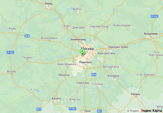
Geotechnical and environmental surveys for the construction of a sports hotel at an ice arena complex on Novoorlovskaya Street in Novo-Peredelkino.

Objective
We completed geotechnical and environmental surveys for the design of a sports hotel on a land plot near the ice arena in Novo-Peredelkino. The client is a sports complex operator; fieldwork took place in August–October 2024, and in 2026 the reports were revised following expert review to obtain a positive conclusion.
A building measuring 29.9 × 34.1 m, up to four storeys (17 m) high with no basement, on pad foundations at a depth of 1.5 m with a bearing pressure of 0.25 MPa, and a 2.1 m deep excavation with battered slopes. The site is a paved sports complex area over made ground, requiring drilling rig access to boreholes in tight spaces between existing structures.
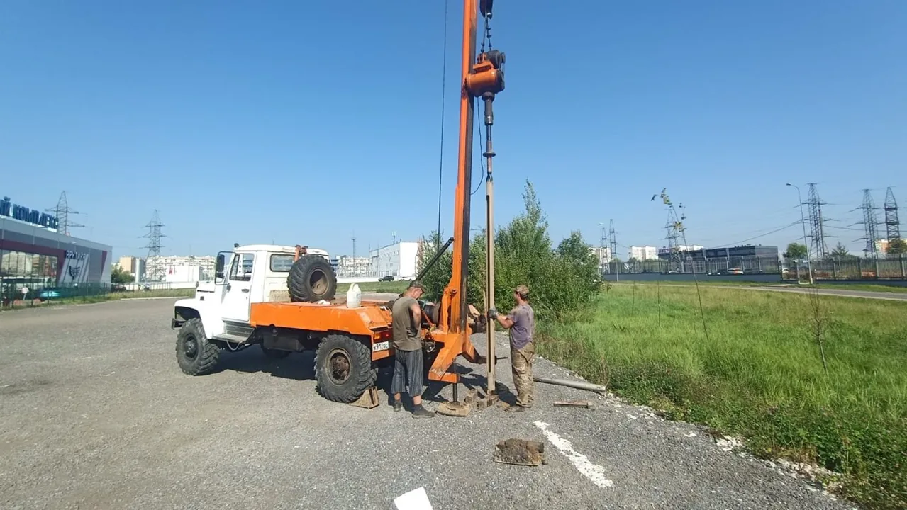
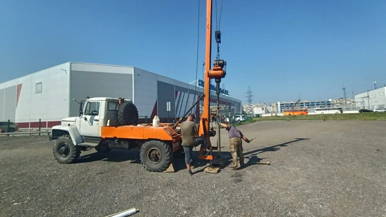
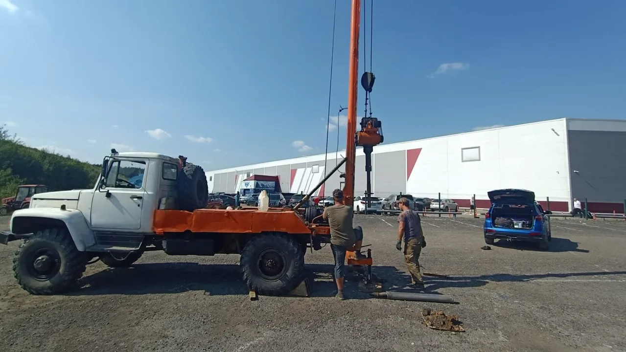
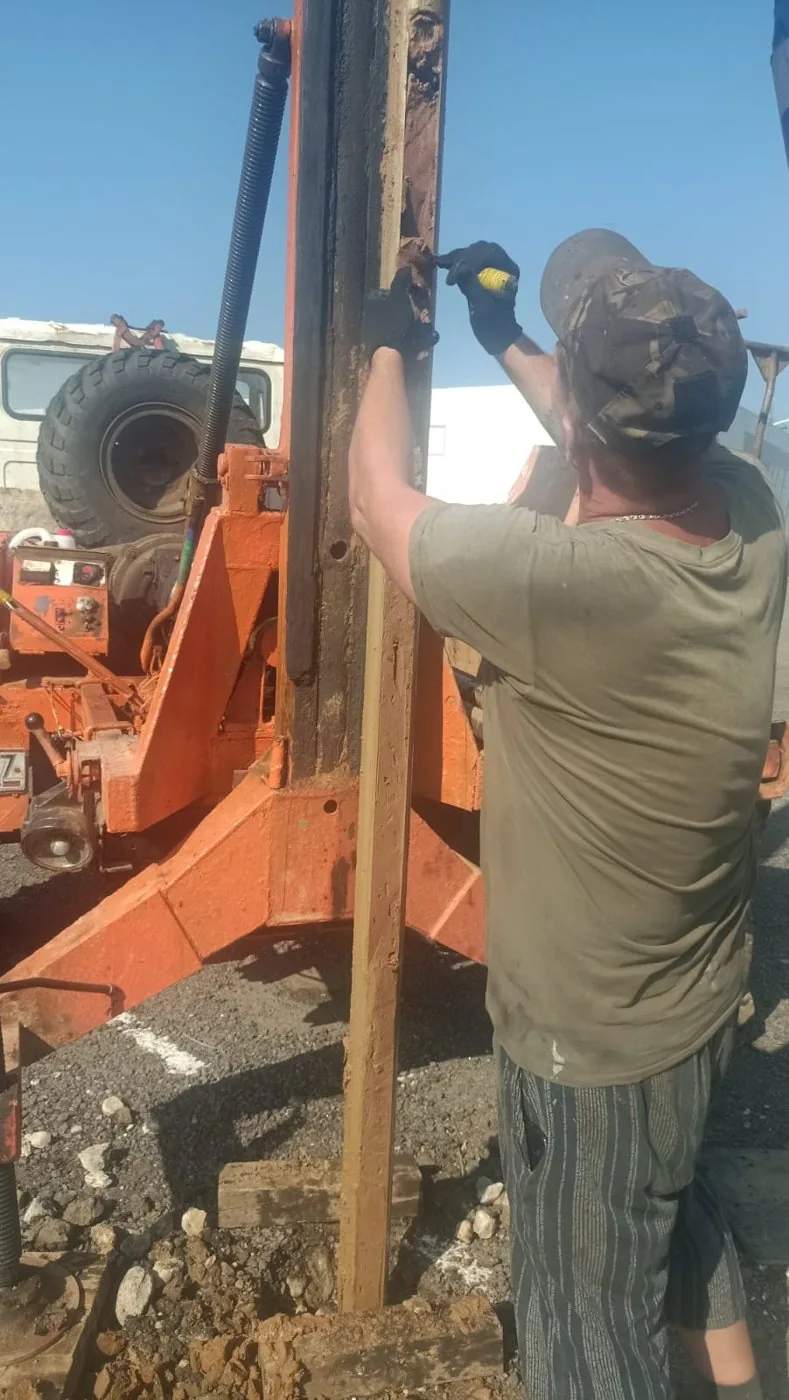
Four 9 m boreholes were drilled using a URB-2A-2 rig by core drilling with full core recovery and casing support; alongside them, cone penetration testing was carried out at four points together with two plate load tests at the foundation base level. As part of the environmental survey, surface topsoil and borehole soil samples were collected, a gamma survey was performed, and radon flux density was measured.

Scope of work and deliverables
GTGeotechnical surveys
Scope of work
- 4 boreholes 9 m deep — 36 linear metres of cased 127 mm rotary core drilling
- 4 cone penetration tests (CPT) and 2 soil plate load tests
- sampling of 40 undisturbed cohesive soil cores and 6 soil samples for chemical analysis, plus groundwater samples
- laboratory testing: physical properties, triaxial compression and direct shear, corrosivity of soils and groundwater
- groundwater level measurements in boreholes, horizontal and vertical survey control of exploratory workings
Results
- Geotechnical conditions — complexity category II (medium); the site lies on a gently undulating moraine plain with elevations of 178.4–180.2 m.
- Beneath an embankment of asphalt planings, sand with crushed stone and compacted sandy clay (EGU-1, 1.1–1.6 m) lies firm cover sandy clay (EGU-2, deformation modulus 21 MPa) — the bearing stratum for pad foundations; below lie stiff moraine sandy clay (EGU-3, 24 MPa), soft fluvioglacial sandy clay with sand interlayers (EGU-4, 13 MPa) and firm Don moraine sandy clay (EGU-5, 32 MPa).
- A confined aquifer was encountered at a depth of 3.7–6.0 m, with a stabilised piezometric level at 2.6–4.2 m and a head of up to 2.6 m; the site is potentially prone to waterlogging, requiring surface water drainage and engineering protection.
- Groundwater and soils are non-aggressive to concrete and reinforced concrete structures; soils are highly aggressive to carbon steel, requiring protection for steel structures.
- Standard frost penetration depth for loams is 1.10 m, and the made ground has low frost susceptibility; the fill consists of tipped spoil and must not be used as a foundation bearing stratum.

- EGU-1 Made ground: crushed asphalt with gravel, sand with crushed stone, compacted loam, with sandy loam containing plant roots at the base (tQIV)
- EGU-2 Brown sandy clay with grey lenses, very stiff, with occasional grus, cover deposit (prQIII)
- EGU-3 Dark brown sandy clay, stiff, with interbeds of silty sand and very stiff sandy clay, with gravel and grus, glacial till (gQIIms)
- EGU-4 Brown sandy clay, firm, with interbeds of saturated sand and stiff sandy clay, fluvioglacial (fQIIdn-ms)
- EGU-5 Dark brown sandy clay, sandy, stiff to very stiff, with gravel and grus up to 15%, glacial till (gQIIdn)
- Groundwater level

Legend
- geotechnical borehole, number and depth, m
- cone penetration test (CPT) point, number
- geotechnical cross-section line, number
- footprint of the proposed hotel
ESEnvironmental surveys
Scope of work
- 9 topsoil and subsoil samples down to a depth of 2 m: heavy metals, petroleum hydrocarbons, benzo(a)pyrene; 2 samples each for microbiological and parasitological indicators
- reconnaissance gamma survey of 0.63 ha, gamma dose rate measurement at 10 control points, 6 samples for radionuclides, radon flux density at 10 points
- interpretation of satellite imagery, 0.5 km reconnaissance survey, enquiries to regulatory authorities, schematic map of environmental conditions, and map of zones with special conditions for land use (ZOUIT)
Results
- Soils and ground down to 2 m fall into the 'permissible' contamination category and are 'clean' by microbiological and parasitological indicators; unrestricted use is permitted.
- The radiation environment is normal: no anomalies, and soils belong to Class I by effective specific activity of radionuclides.
- Restrictions imposed by zones with special conditions for territory use (ZOUIT) are shown on the ZOUIT map.


Site photos


Result
The client received two technical reports for the hotel design. Following the resolution of review comments, a positive non-state expert review conclusion was obtained.
This is just one of our projects: every year our specialists carry out surveys on 40–50 sites in Moscow, the Moscow Region, and across Russia.
Send your technical brief — we will price it the same day
If you do not have a technical brief, describe the project: site location, planned construction, and whether a design exists. We will reply with a scope of work and cost.