Kratovo 220 kV Substation, Ramensky District
Integrated engineering surveys for the construction of a 220 kV substation with 220 kV GIS, a control building with 20 kV indoor switchgear, and 220 kV overhead and cable line entries near the village of Khripan.


Objective
We completed geotechnical, topographic, environmental and hydrometeorological surveys for the design of the 220 kV 'Kratovo' substation with 220 kV overhead line entries from TsAGI–Rudnevo and TsAGI–Vostochnaya. The client is a design organisation acting on behalf of a grid company. Topographic surveys were completed in winter 2024–2025 under a separate contract, while the remaining survey types were carried out from April to September 2025.
The 4.8 ha site is designed to accommodate two 63 MVA power transformers on raft foundations, a 50 × 16 m control building with 20 kV indoor switchgear on a piled raft foundation, 220 kV GIS on 8.6 m piles, a gatehouse, overhead line entry towers, and cable lines installed by HDD. The piles and heavy rafts required deep boreholes — down to 27 m, reaching the regional Jurassic clays.
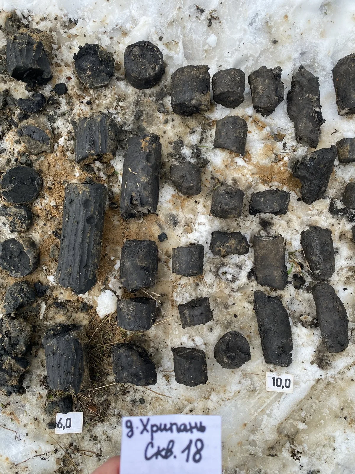
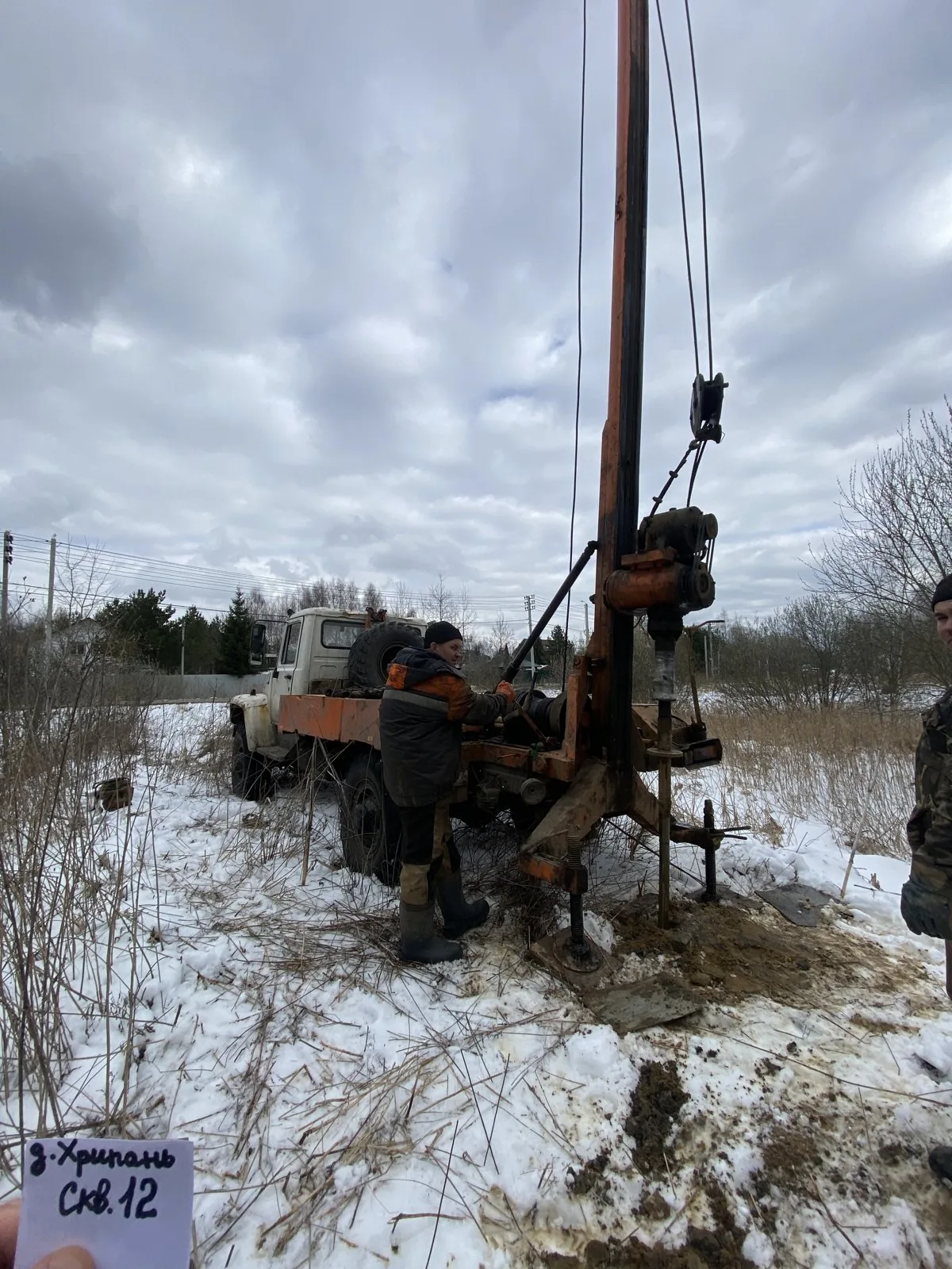
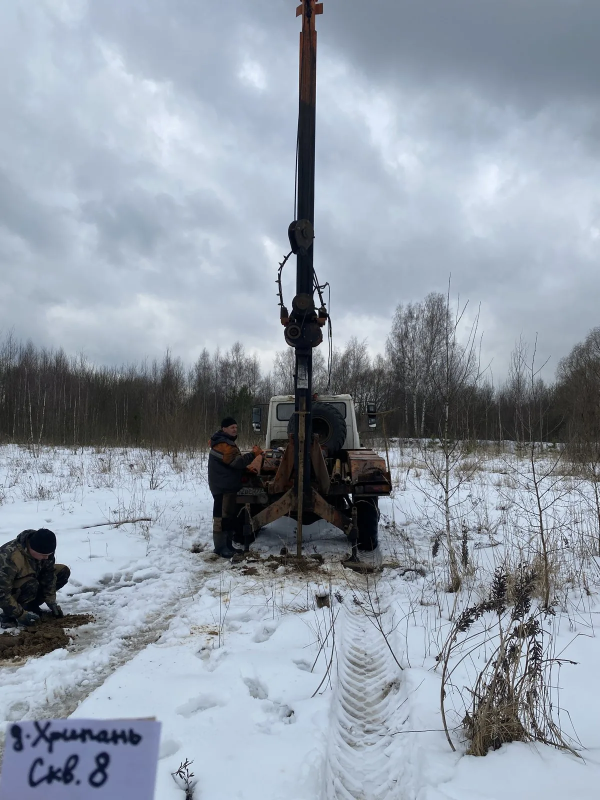
127 and 132 mm diameter boreholes were drilled using UGB-1VS and PBU-2 rigs via core and cable-tool percussive methods, with groundwater levels measured during drilling; dedicated boreholes were drilled for HDD cable crossings and geological cross-sections were plotted along the crossing alignments. Cone penetration testing (CPT) was performed at 26 points, supplemented by vertical electrical sounding (VES) and stray current measurements to assess corrosion hazard.

Scope of work and deliverables
GTGeotechnical surveys
Scope of work
- 57 boreholes 10 to 27 m deep — 961 linear metres of drilling, including 4 boreholes for HDD crossings
- 26 cone penetration tests (CPT), 3 vertical electrical soundings (VES) and stray current measurements
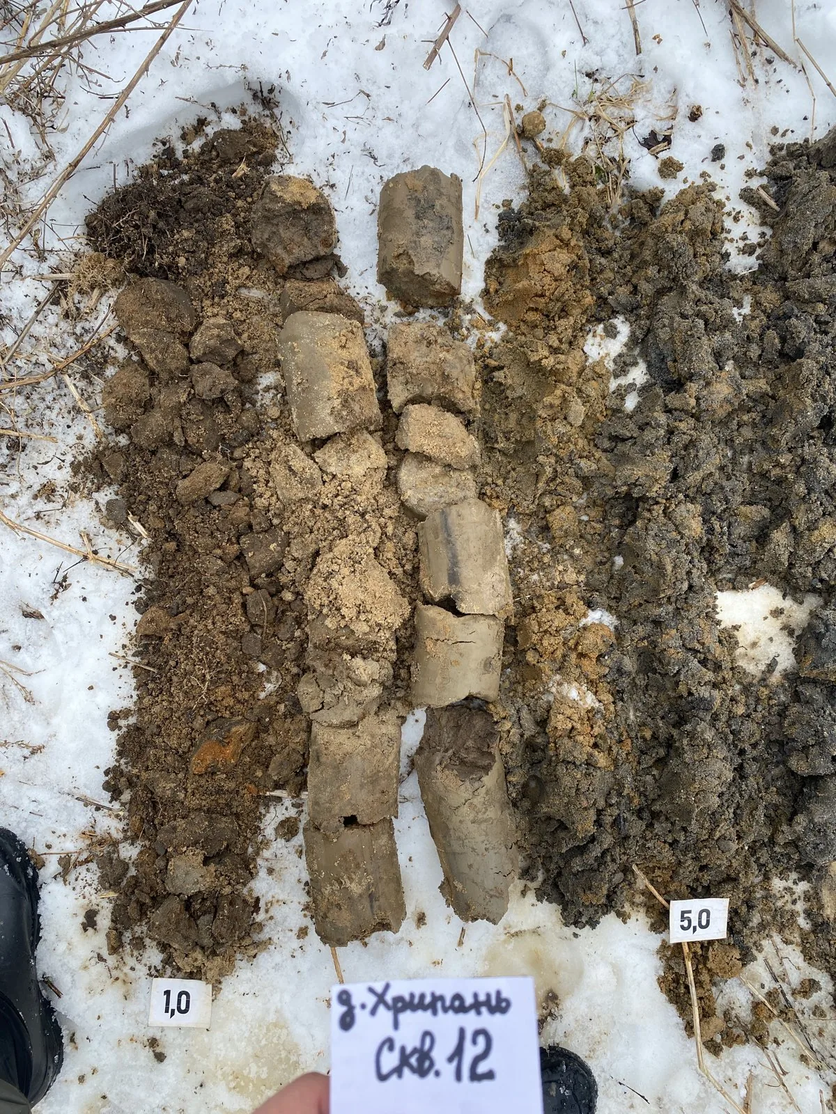
- sampling of 98 undisturbed cores and 57 disturbed sand samples, plus 21 soil samples and 3 groundwater samples for corrosivity testing
- laboratory testing: physical properties on 155 samples, 48 triaxial compression tests and 30 direct shear tests
- reconnaissance survey of the territory — 2 km, collection and analysis of archival materials from previous surveys
Results
- Geotechnical conditions — complexity category II (medium).
- Beneath made ground up to 3 m thick, eight further engineering geological units have been identified down to a depth of 27 m: fluvioglacial sands (EGU-2 and 6, deformation modulus 32–35 MPa), moraine sandy clay (EGU-3, 22 MPa), silty sands and clays (EGU-4 and 5, 15–23 MPa) and soft to firm Jurassic clays (EGU-7–9, 10–15 MPa), which form the regional aquiclude.
- Groundwater was encountered at a depth of 0.3–2.8 m — the site is naturally waterlogged, and waterproofing of underground structures, site grading and surface water drainage are recommended in the design.
- Groundwater is slightly aggressive to W4 concrete and moderately aggressive to metal; made ground and moraine sandy clays are highly aggressive to steel — underground structures require protection.
- Standard frost penetration depth is 1.08 m for loams and 1.41 m for sands; no karst hazard — Stability Category VI.

- Embankment / Fill Medium sand with interlayers of sandy silty clay; stiff to very stiff sandy silty clay with angular fine gravel and crushed stone (tQIV)
- EGU-2 Medium brown sand, medium dense (f,lgQIIms)
- EGU-3 Brown sandy clay, stiff, with interbeds of sand, glacial till (gQIIms)
- EGU-4 Silty grey sand, saturated, medium dense (f,lgQI–IIds-ms)
- EGU-5 Greenish-grey soft clay (f,lgQI–IIds-ms)
- EGU-7 Black soft micaceous Jurassic clay (J2–3)
- EGU-9 Black firm micaceous Jurassic clay (J2–3)
- Groundwater level

Legend
- geotechnical borehole, number and depth, m
- cone penetration test (CPT) point, number
- geotechnical cross-section line, number
- footprint of the proposed structure
TSTopographic surveys
Scope of work
- 1:500 engineering topographic plan for the site and utility approach corridors — 6 ha, contour interval — 0.5 m
- establishment of a horizontal and vertical survey control network: installation of 2 temporary control points referenced to MOBTI base stations, MSK-50 coordinate system, Baltic height system
- detection and tracing of underground and overhead utilities, longitudinal route profiles, schedules of crossings with power lines, utilities, roads and land parcels
- approval of the completeness and accuracy of utility plotting with operating organisations, registration of the report in the Moscow Region ISOGD
Results
- Ground surface elevations are 132–136 m AOD; the site lies on a gently undulating moraine plain with man-made ground features.
- Existing 220 kV overhead lines, gas pipelines, telecommunications lines and roads are plotted on the plan; schedules of crossings have been compiled for the line entry routes.
- The technical report was registered in the ISOGD of the Moscow Region on 24.04.2025.


ESEnvironmental surveys
Scope of work
- 29 topsoil and subsoil samples to a depth of 7 m: heavy metals, petroleum hydrocarbons, benzo(a)pyrene; 6 samples each for microbiology and parasitology
- reconnaissance gamma survey of a 4.8 ha site, dose rate at 48 control points, samples for radionuclides, radon flux density
- general chemical analysis of groundwater, noise and electromagnetic radiation measurements
- interpretation of satellite imagery over 4.8 ha, 1.2 km walkover survey, enquiries to regulatory authorities, factual data map, and ZOUIT map
Results
- Soils and ground down to 7 m fall into the 'permissible' contamination category and are 'clean' in microbiological and parasitological terms; unrestricted use is permitted.
- The radiation environment is normal: no anomalies, Class I soils, and radon flux density within regulatory limits.
- The site lies entirely within the aerodrome environs of Ramenskoye Aerodrome and crosses the wayleaves of a 220 kV overhead power line and gas distribution networks; there are no specially protected natural areas, water protection zones or cultural heritage sites.


HMHydrometeorological surveys
Scope of work
- climatic summary from Moscow VDNKh and Pavlovsky Posad weather stations: temperatures, precipitation, wind, snow, glaze ice, thunderstorms and hail
- design and characteristic parameters for engineering design under SP 131.13330, SP 20.13330 and PUE-7
- calculation of spring and rain flood runoff depth to forecast water ponding in closed depressions on the site
- certificate on hazardous hydrometeorological phenomena in the area
Results
- Climatic sub-region IIB, temperature of the coldest five-day period −29 °C, absolute minimum −43 °C; wind region I.
- Westerly, southerly and south-westerly winds prevail, with northerly and north-westerly winds increasing in summer.
- There are no water bodies on the site or along the approach routes; the nearest river, the Khripan, is 0.6–1 km away. Runoff depths for spring snowmelt and rainfall floods were calculated for closed depressions (spring snowmelt generates peak inflow).
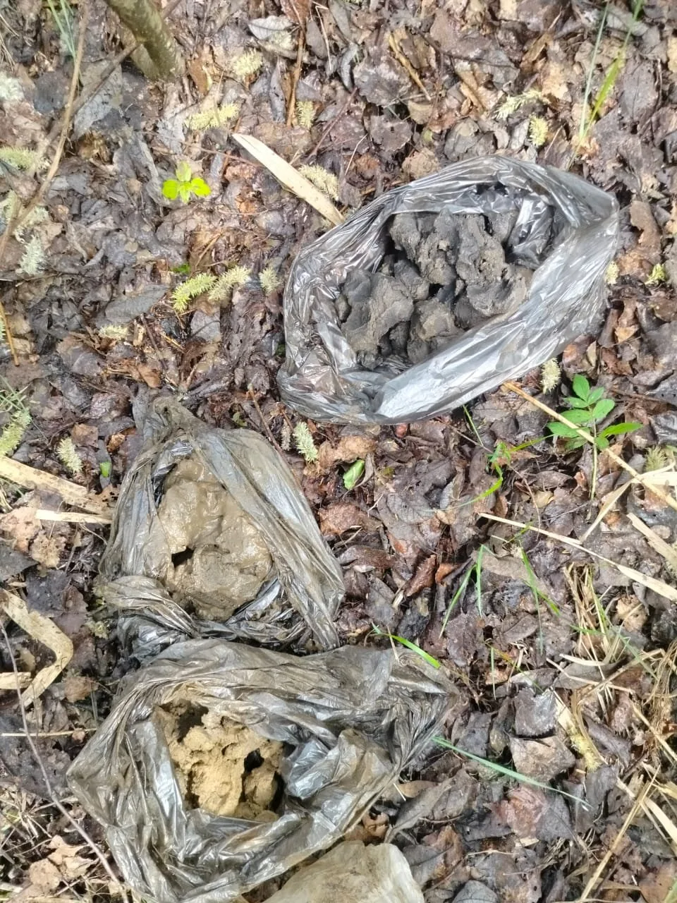
Site photos

Result
The client received four technical reports for the design of the substation and line entries, and the topographic survey report was registered in the Moscow Region ISOGD. A positive state expert review conclusion was obtained.
This is just one of our projects: every year our specialists carry out surveys on 40–50 sites in Moscow, the Moscow Region, and across Russia.
Send your technical brief — we will price it the same day
If you do not have a technical brief, describe the project: site location, planned construction, and whether a design exists. We will reply with a scope of work and cost.