Ice arena in Kartmazovo, Moscow
Integrated engineering surveys for the design of a 61 × 90 m sports complex.


Objective
Execution of a full package of engineering surveys (geotechnical, topographic, environmental and hydrometeorological) for the design of a two-storey ice palace measuring 61 × 90 m in the village of Kartmazovo (Moskovsky settlement). The documentation was prepared for state expert review and the development of design and estimate documentation.
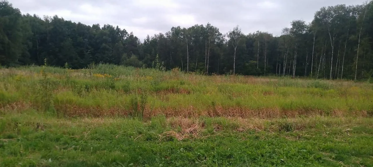
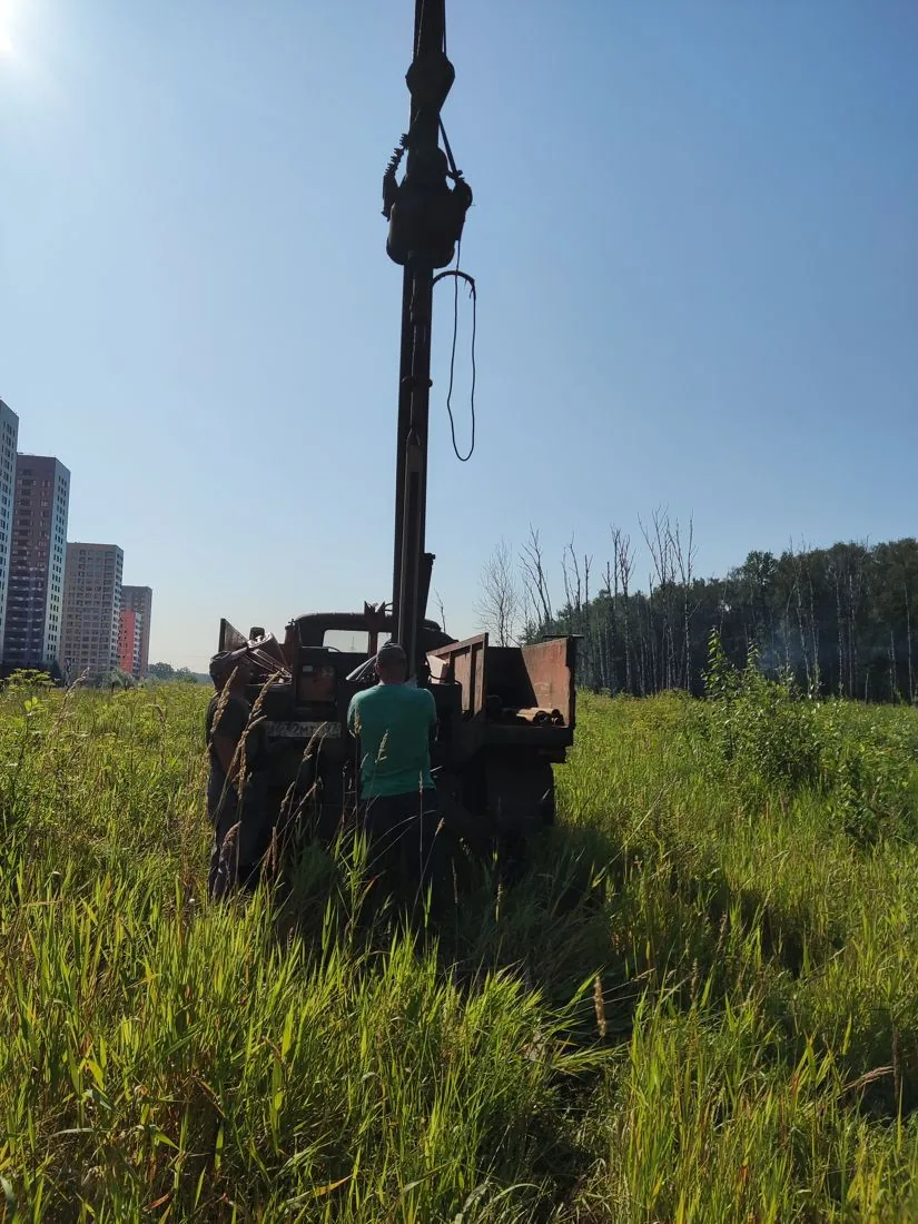
The survey site is an overgrown meadow near new residential developments with a dense network of above-ground and underground utilities. Due to waterlogging across part of the area, the locations of several exploratory holes (boreholes) were promptly adjusted in agreement with the client.

Scope of work and deliverables
GTGeotechnical surveys
Scope of work
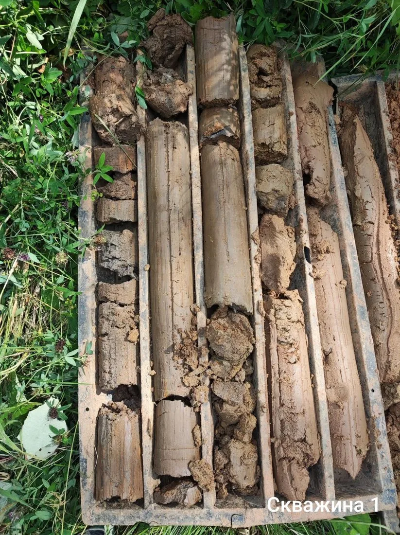
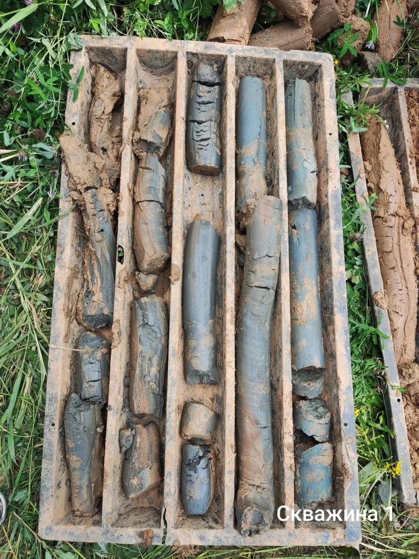
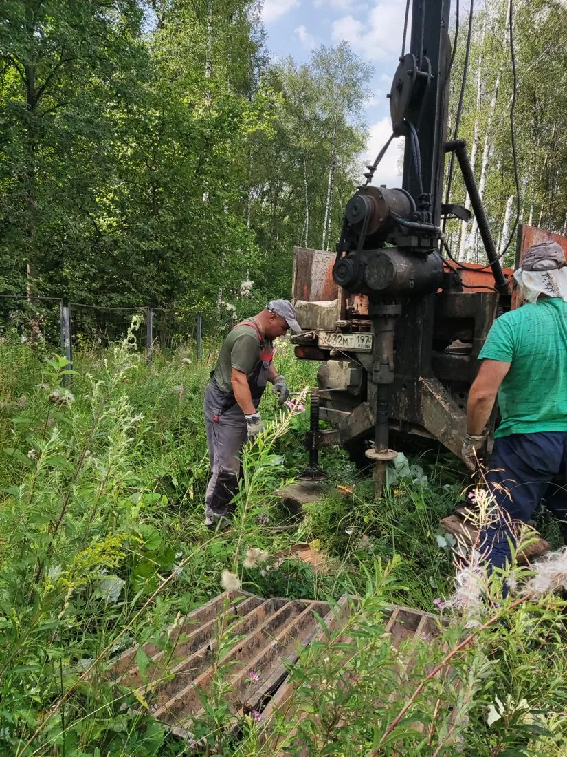
- 12 boreholes 15 m deep — 180 linear metres
- 6 cone penetration tests (CPT)
- 44 undisturbed soil cores and 10 sand samples for laboratory testing
- 24 triaxial compression tests, plus shear and oedometer consolidation tests
- chemical analysis of soil and groundwater
- excavation permit obtained
Results
- Geotechnical conditions — complexity category II (medium).
- Five engineering geological units (EGUs) were identified down to a depth of 15 m: cover and moraine sandy clays, underlain by Cretaceous sandy clays, clays and silty sands.
- Groundwater was encountered in all boreholes at depths of 2.5–3.6 m. In spring, the groundwater table (GWT) may rise by up to 1 m, which has been taken into account in the design solutions.
- Groundwater is slightly aggressive to W4 watertightness grade concrete and moderately aggressive to metal, which was taken into account when designing corrosion protection for the structures.
- No karst-suffosion hazard.

- EGU-2 Sandy clay, very stiff, cover deposit (pQIII)
- EGU-3 Sandy clay, stiff, with grus and gravel, glacial till (gQIIms)
- EGU-4 Sandy clay, stiff, Cretaceous (K1)
- EGU-5 Firm Cretaceous clay (K1)
- EGU-6 Silty sand, dense (K1)
- Groundwater level

Legend
- geotechnical borehole, number and depth, m
- cone penetration test (CPT) point, number
- geotechnical cross-section line, number
- footprint of the proposed structure
TSTopographic surveys
Scope of work
- 1:500 engineering topographic plan for a 1.3 ha plot, contour interval 0.5 m
- Moscow coordinate and elevation system (MGGT)
- survey of underground and aboveground utilities
- registration in Moscow GISOGD
Results
- 1:500 engineering topographic plan covering the entire 1.3 ha site, with a 0.5 m contour interval.
- The site relief is predominantly flat, with surface elevations ranging from 181.6 to 182.7 m.
- All above-ground and underground utilities are plotted on the topographic plan, which is essential for accurate building siting and utility design.
- The plan is registered in the Moscow State Information System for Urban Development (GISOGD).


ESEnvironmental surveys
Scope of work
- 6 soil samples: heavy metals, petroleum hydrocarbons, benzo(a)pyrene
- microbiological and parasitological samples
- 1.3 ha gamma survey and 14 dose rate measurement points
- 54 radon flux density measurement points
Results
- Soils and ground down to a depth of 2 m meet the 'permissible' contamination category and may be used without restriction (except at high-risk facilities).
- Concentrations of heavy metals and benzo(a)pyrene do not exceed maximum permissible concentrations (MPC); petroleum hydrocarbon concentration is up to 424 mg/kg against a regulatory limit of 1,000 mg/kg.
- Microbiological and parasitological indicators — 'clean' category.
- Background radiation is within normal limits, with no radiation anomalies recorded. Soils are classified as Class I based on the specific effective activity of natural radionuclides. Radon flux density complies with regulatory standards.


HMHydrometeorological surveys
Scope of work
- climatic parameters from VDNKh weather station
- assessment of the impact of the Setun River (510 m from the site)
- hazardous hydrometeorological phenomena
Results
- The nearest watercourse (the River Setun) flows 510 m from the site and has no impact on it; there are no hazardous hydrological processes.
- South-westerly and westerly winds prevail (19% and 18% annually), with a mean wind speed of 2.1 m/s.
- Standard frost penetration depth for loams is 0.96 m.
- Snow region III — 1.45 kPa; wind pressure 0.23 kPa; ice region II, ice thickness 5 mm.
Site photos

Result
The technical reports received approval from a non-state expert review, and the engineering topographic plan was registered in the Moscow urban development information system (GISOGD).
This is just one of our projects: every year our specialists carry out surveys on 40–50 sites in Moscow, the Moscow Region, and across Russia.
Send your technical brief — we will price it the same day
If you do not have a technical brief, describe the project: site location, planned construction, and whether a design exists. We will reply with a scope of work and cost.