High-pressure gas pipeline, Pavlovsky Posad
Topographic, geotechnical and hydrometeorological surveys for an almost 2 km high-pressure gas pipeline along the M-12 highway in the Pavlovo-Posadsky Urban District.

Objective
We completed topographic, geotechnical and hydrometeorological surveys for the working documentation of a high-pressure gas pipeline (up to 1.2 MPa) in the Pavlovsky Posad urban district. The client is a design organisation. The underground steel gas pipeline has a burial depth of 1–6 m and a total length of 1.98 km; trenchless methods are used for crossings beneath artificial and natural obstacles. The contract period is 45 calendar days for topographic surveys, and 30 calendar days each for geotechnical and hydrometeorological surveys.
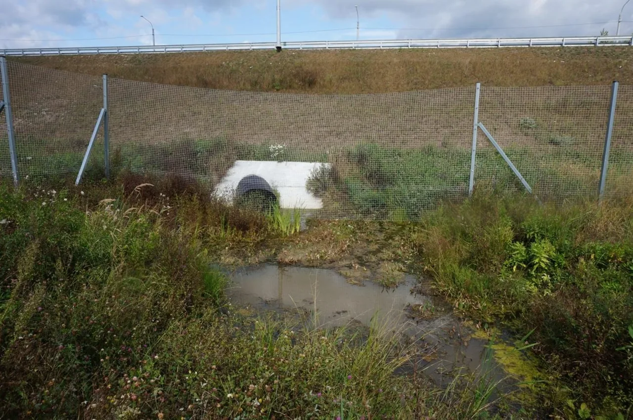
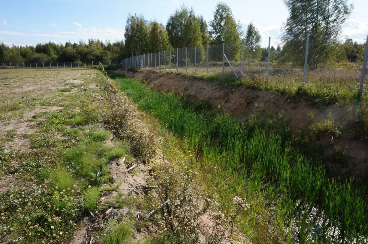
The route runs alongside the new M-12 federal motorway across overgrown and locally waterlogged land, crossing drainage ditches three times. Therefore, in addition to the topographic survey and drilling, we needed to inspect the ditches and calculate water discharges and levels at the crossing sections, as these determine the depth and method of laying the gas pipeline beneath the watercourses.
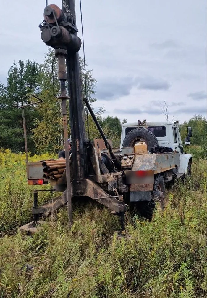
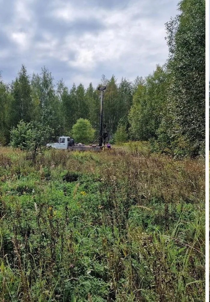
Fieldwork took place in August and September 2023. The topographic survey covered a 40 m corridor along the route centreline from five temporary control points positioned by GNSS receivers in the MSK-50 coordinate system. Sixteen boreholes of 4, 6 and 8 m depth were rotary core drilled at 127 mm diameter using a URB-2A-2 rig with full core recovery and casing installed for groundwater level monitoring.

Scope of work and deliverables
TSTopographic surveys
Scope of work
- 1:500 engineering topographic plan of a 1.98 km route with a 40 m corridor — 11.3 ha, contour interval 0.5 m
- 5 temporary GNSS horizontal and vertical control points and 10 survey network stations, MSK-50 coordinate system, 1977 Baltic Height System
- survey of underground and aboveground utilities with field inspection
- approval of the completeness of utility plotting with operating organisations — telecoms, power grids, gas utility
Results
- Ground surface elevations along the route are 134.45–137.50 m AOD.
- Crossing and parallel utilities, ditches, culverts beneath the M-12 motorway and the highway right-of-way are plotted on the plan.
- The completeness and accuracy of the plotted utilities were confirmed by the utility operators.


GTGeotechnical surveys
Scope of work
- 16 boreholes 4–8 m deep — 98 linear metres of rotary core drilling: 7 boreholes of 4 m, 1 of 6 m and 8 of 8 m
- 7 cone penetration tests (CPT), route reconnaissance survey — 1.98 km
- 10 undisturbed clay soil cores and 16 disturbed sand samples, 9 soil samples and 3 groundwater samples for chemical analysis
- laboratory testing: physical properties on 26 samples, 6 triaxial compression tests and 6 direct shear tests
- assessment of route waterlogging susceptibility by section and soil corrosivity towards steel
Results
- Geotechnical conditions — complexity category II (medium); the site is an alluvial plain.
- Three engineering geological units were identified down to 8 m: sandy fill (EGU-1), medium-dense fine alluvial sand (EGU-2) and stiff Jurassic loam (EGU-3, deformation modulus 22 MPa).
- Groundwater was encountered at a depth of 1.0–2.9 m, with a predicted high level between ground surface and 1.4 m. Route sections near boreholes 4, 5, 6, 11 and 15 are waterlogged — dewatering is recommended during construction.
- Soils and water are non-aggressive to concrete; soil corrosivity to carbon steel is moderate — this is important for a steel gas pipeline.
- Sands are non-frost-susceptible, standard freezing depth is 1.4 m; no karst sinkholes (stability category VI).


Legend
- geotechnical borehole, number and absolute collar elevation
- cone penetration test (CPT) point
- geotechnical cross-section line
HMHydrometeorological surveys
Scope of work
- climatic summary from Pavlovsky Posad weather station, certificate of hazardous hydrometeorological phenomena
- survey of three land-drainage ditches at gas pipeline crossing sections: channel parameters, measurement of low-water discharge
- morphometry of three catchments ranging from 0.038 to 0.848 km² from maps and topographic survey
- calculation of maximum spring flood and rain flood discharges and 1–10% exceedance probability water levels at crossing sections using the analogue Medvenka River
Results
- There are no natural watercourses along the route: the gas pipeline crosses three land-drainage ditches that carry water towards the Klyazma River.
- The maximum water discharge with a 1% exceedance probability at crossing section 1 is 1.46 m³/s (storm flood), and at crossings 2 and 3 — up to 0.68 m³/s.
- Design water levels at 1% exceedance probability at crossing cross-sections are 133.75–134.12 m BS.
- South-westerly winds prevail (17% annually), with a higher share of northerly and north-westerly winds in summer.
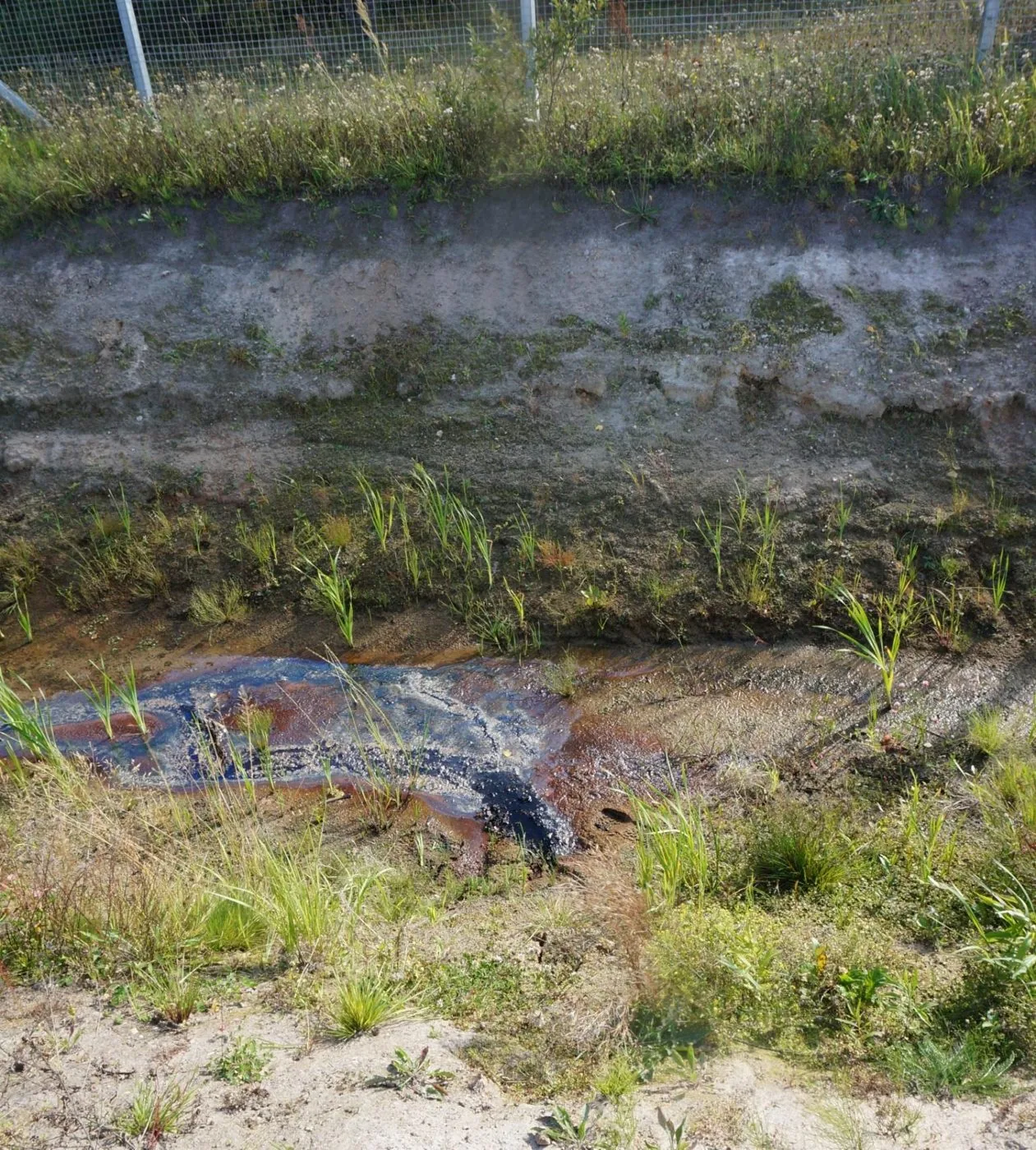
Site photos

Result
The client received three technical reports for the gas pipeline detailed design documentation, with the engineering topographic plan approved by utility operators. We supported the reports through expert review: a positive non-state expert review conclusion was obtained.
This is just one of our projects: every year our specialists carry out surveys on 40–50 sites in Moscow, the Moscow Region, and across Russia.
Send your technical brief — we will price it the same day
If you do not have a technical brief, describe the project: site location, planned construction, and whether a design exists. We will reply with a scope of work and cost.