Dam in Busharino, Odintsovsky District
Integrated engineering surveys for the design of a hydraulic structure — a dam on the Meleyevsky Stream near its confluence with the River Setun.

Objective
We completed geotechnical, topographic, environmental and hydrometeorological surveys to prepare design documentation for the construction of a hydraulic structure — a dam on the Meleyevsky Stream 7–10 m upstream of its confluence with the River Setun (village of Volkovo near the Busharino estate, Odintsovo urban district). The client is a design organisation. Construction type: new build. The contract period is 45 calendar days.
A distinctive feature of the site is water on all sides: the site lies within the water protection zone of the Setun River and a stream, groundwater is 0.7 m below the surface, and the dam axis runs across the stream bed. Therefore, in addition to standard site investigations, cross-section surveys across the stream and river were required, along with calculations of rare-frequency water discharges and levels, which govern the crest elevation and spillway design.
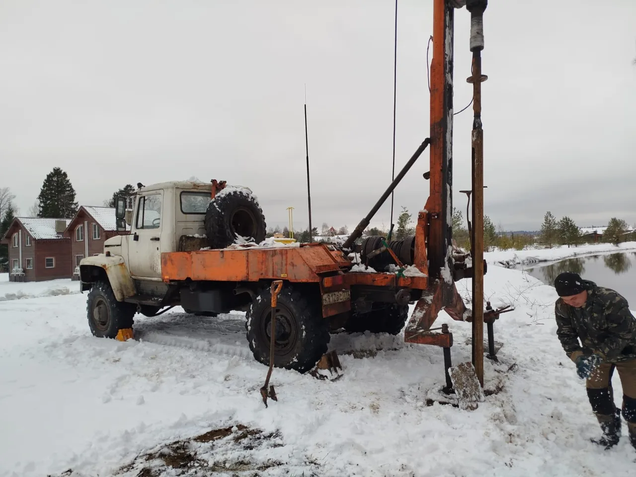
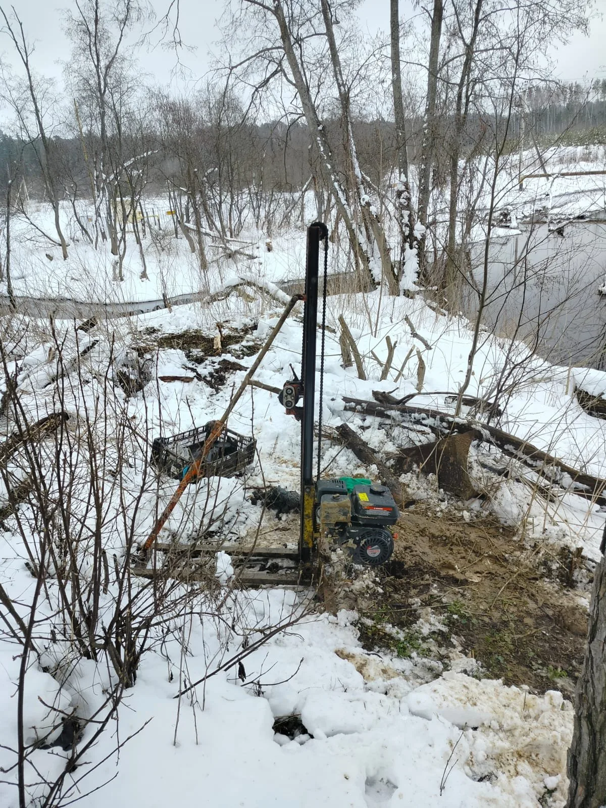
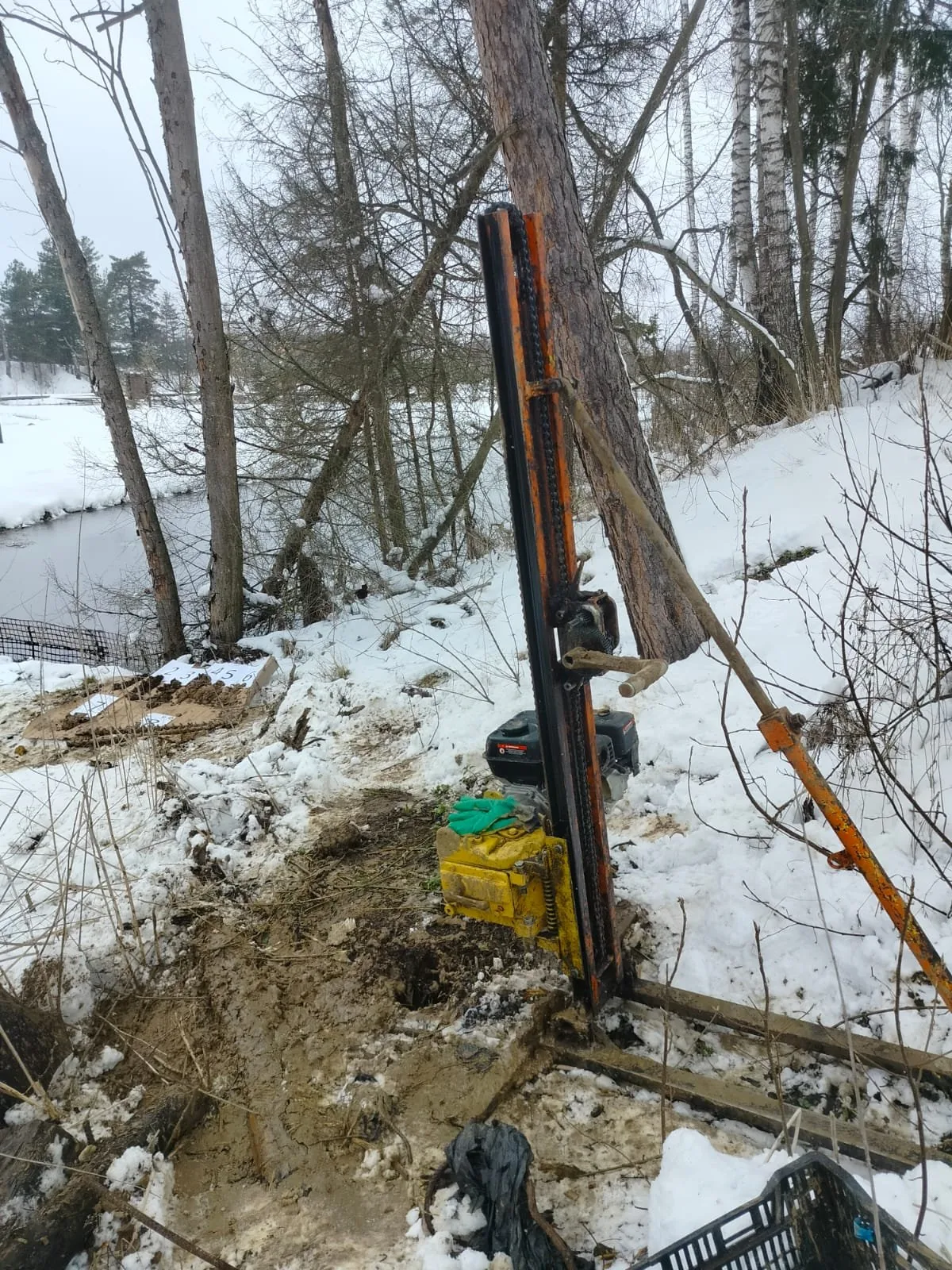
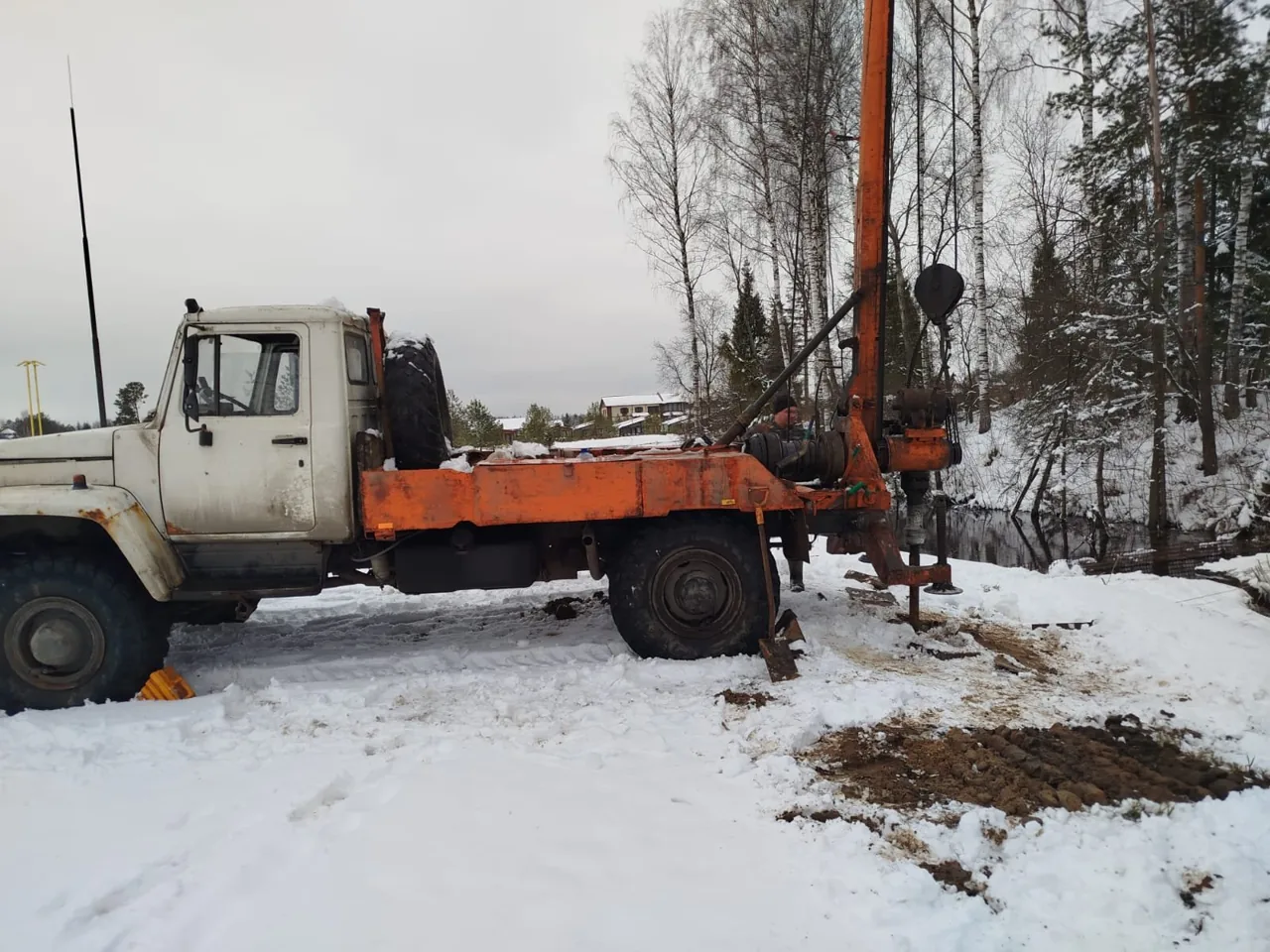
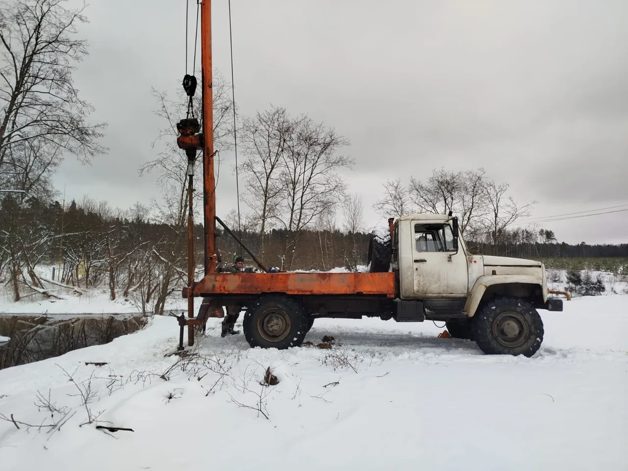
Fieldwork was carried out in April 2025 over snow. The first borehole was rotary core drilled at 127 mm diameter using a truck-mounted URB-2A-2 rig, with full core recovery and casing installed for groundwater level measurements. Because the truck could not physically reach the second borehole on the opposite bank of the stream, our crew carried a portable UKB-12/25 rig to the location by hand. Cone penetration testing (CPT) was performed at two points to a depth of 8 m. Borehole coordinates and survey control were established by GNSS referenced to the Moscow Region base station network.

Scope of work and deliverables
GTGeotechnical surveys
Scope of work
- 2 boreholes 8 m deep — 16 linear metres of rotary core drilling
- 2 cone penetration tests (CPT) to a depth of 8 m
- 10 undisturbed soil cores and 10 sand samples for laboratory testing, 6 soil samples and 3 groundwater samples for chemical analysis and aggressiveness to concrete and steel
- 12 triaxial compression tests, physical property determinations on 20 sand and sandy clay samples
- reconnaissance survey of the territory — 0.3 km, collection of archival geological and hydrogeological maps
Results
- Geotechnical conditions — complexity category III (complex).
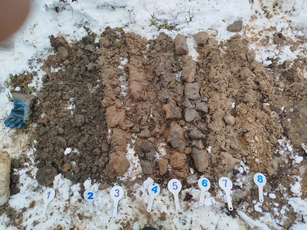
- Beneath 0.2 m of made ground (which cannot be used as a foundation bearing stratum), two engineering geological units have been identified down to a depth of 8 m: soft light sandy clay (EGU-2, deformation modulus 9.4 MPa) and medium-dense fine sand (EGU-3, deformation modulus 22 MPa).
- Groundwater was encountered at a depth of 0.66–0.70 m, with seasonal fluctuations of up to 1 m; during rainfall and snowmelt, perched water may form at the top of the sandy clays. The site is naturally waterlogged, which is accounted for in the dam design.
- Soils and groundwater are non-aggressive to concrete and reinforcement; corrosivity to steel is low.
- Standard frost penetration depth is 1.07 m for loams and 1.31 m for sands; loam EGU-2 is highly frost-susceptible. No karst hazard — Stability Category VI.

- Embankment / Fill Silty sand with construction debris and lenses of sandy silty clay (tQIV)
- EGU-2 Brown sandy clay, firm, with occasional interbeds of sand (f,lgQIIms)
- EGU-3 Fine brown sand, saturated and slightly moist, medium dense (f,lgQIIms)
- Groundwater level

Legend
- geotechnical borehole, number and absolute collar elevation, m
- cone penetration test (CPT) point, number
- geotechnical cross-section line, number
TSTopographic surveys
Scope of work
- 1:500 engineering topographic plan for a 0.5 ha plot, contour interval 0.5 m
- survey control: 2 temporary control points from MOBTI base stations, MSK-50 coordinate system, Baltic height system
- survey of underground and aboveground utilities with approval of utility completeness with operating organisations
- registration of materials in the Moscow Region ISOGD
Results
- Site elevations are 143–145 m AOD, and 143.67 and 143.71 m at the borehole collars.
- A gas pipeline, overhead power line, high-voltage cable and telecommunications cable are plotted on the plan; the completeness of the utilities has been agreed with their owners.
- The technical report was registered in the ISOGD of the Moscow Region on 23.06.2025 (GBU MO Mosoblgeotrest).


ESEnvironmental surveys
Scope of work
- 8 topsoil and subsoil samples to a depth of 3 m: heavy metals, petroleum hydrocarbons, benzo(a)pyrene; 2 microbiological and 2 parasitological samples
- reconnaissance gamma survey of the plot, gamma dose rate measurement at 6 control points, 8 soil samples for specific activity of radionuclides
- stream water and bottom sediment sample
- interpretation of satellite imagery, enquiries to regulatory authorities, schematic map of environmental conditions, and map of zones with special conditions for land use (ZOUIT)
Results
- Soils and ground down to 3 m fall into the 'permissible' contamination category and may be used without restriction; benzo(a)pyrene and petroleum hydrocarbons are within limits.
- The radiation environment is normal: uniform gamma background, no anomalies, and soils belong to Class I construction materials.
- Stream water showed exceedances for BOD5, lead and manganese against fishery standards; bottom sediments fall into the 'permissible' category.
- The site lies entirely within the water protection zone of the Setun River and the Meleyevsky Brook — these restrictions are shown on the ZOUIT (zones with special conditions for territory use) map.


HMHydrometeorological surveys
Scope of work
- reconnaissance of watercourses and catchments — 1 km route, survey of morphological cross-sections along the Meleyevsky Brook and the Setun River — 0.15 km
- climatic summary from Novo-Iyerusalim, Naro-Fominsk and Mozhaysk weather stations
- calculation of maximum spring flood and rain flood discharges, minimum low-water discharges and peak water levels at design cross-sections of the Meleevsky Brook and Setun River
- characteristics of the ice regime and channel deformations
Results
- Meleyevsky Brook at the dam cross-section: 1% AEP maximum discharge is 6.60 m³/s, highest water level accounting for backwater from the Setun River is 143.90 m BS.
- Setun River at the brook mouth: 1% maximum discharge is 58.1 m³/s, highest spring ice-run water level is 144.00 m BS; maximum ice thickness is 62 cm.
- Climatic sub-region IIB, temperature of the coldest five-day period −28 °C; snow region III (1.5 kPa), wind region I (0.23 kPa), ice region II.
- An annual inspection of the brook and river channels approaching the dam and clearance of woody debris accumulations are recommended to the owner.
Site photos
Result
The client received four technical reports for the embankment dam design, and the topographic survey report was registered in the Moscow Region ISOGD. We supported the reports through expert review, addressed the reviewers' comments and obtained a positive non-state expert review conclusion.
This is just one of our projects: every year our specialists carry out surveys on 40–50 sites in Moscow, the Moscow Region, and across Russia.
Send your technical brief — we will price it the same day
If you do not have a technical brief, describe the project: site location, planned construction, and whether a design exists. We will reply with a scope of work and cost.