Road from Frunze Square to the Ladoga–Lunevo highway, Vladimir
Geodetic works as part of topographic surveys for the design of a new urban road featuring a railway overpass and bridges across the Rivers Rpen and Klyazma.

Objective
We completed geodetic works as part of topographic surveys for the design documentation of a new road in Vladimir — from Frunze Square to the Ladoga–Lunevo road. The approximately 3.5 km road includes an overpass over a railway combined with a bridge across the River Rpen, and a bridge across the Klyazma; it is being built under the 'Safe High-Quality Roads' national project. The client is the lead survey contractor. The contract period is 35 calendar days.
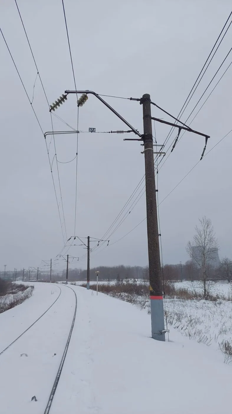
We needed to establish a geodetic control network for subsequent use by the construction team and compile a complete record of utilities along the urban section of the route: underground services with chamber dips, overhead lines, railway cables and catenary system, overpass bridges and utility tunnels.
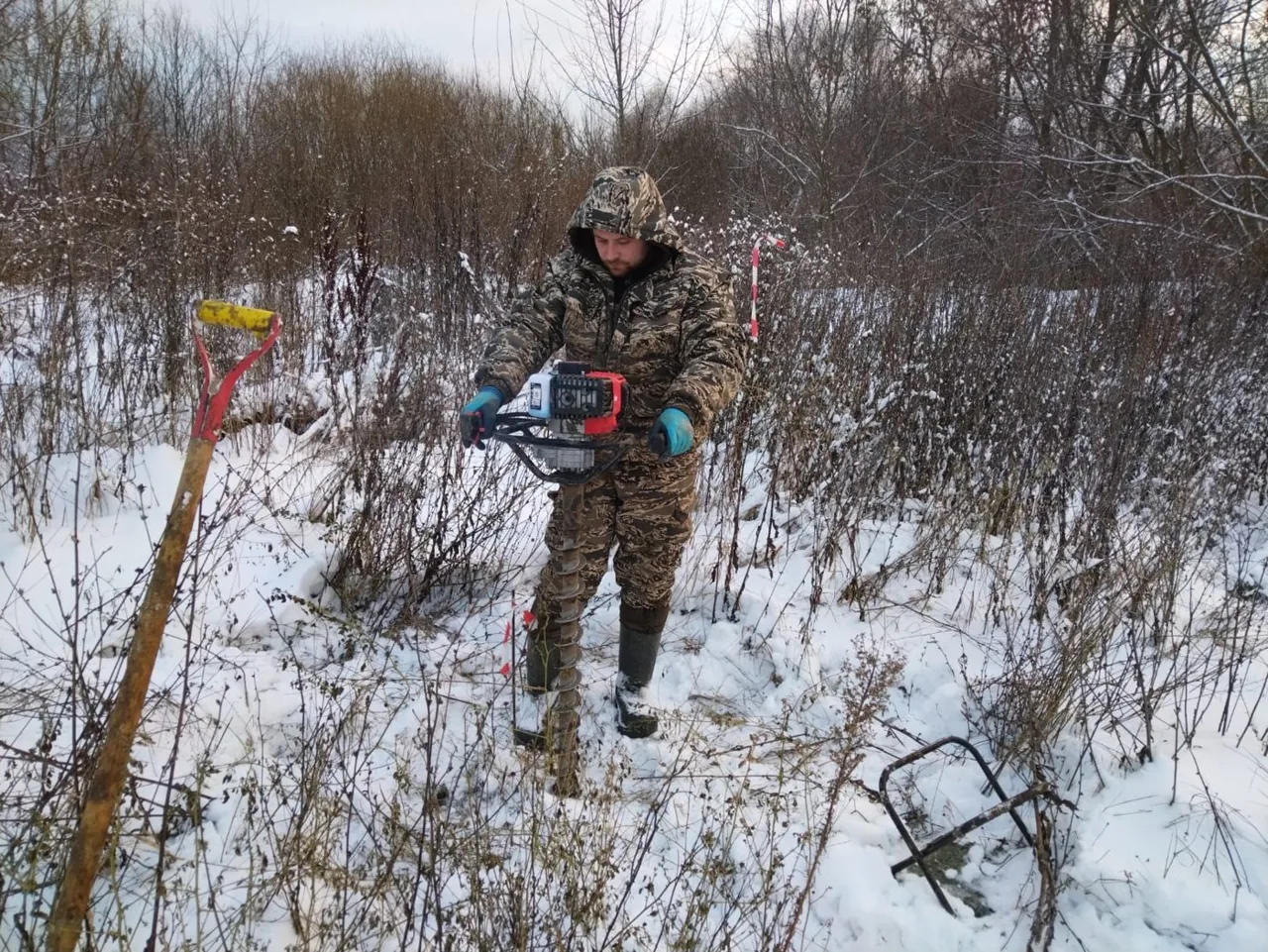
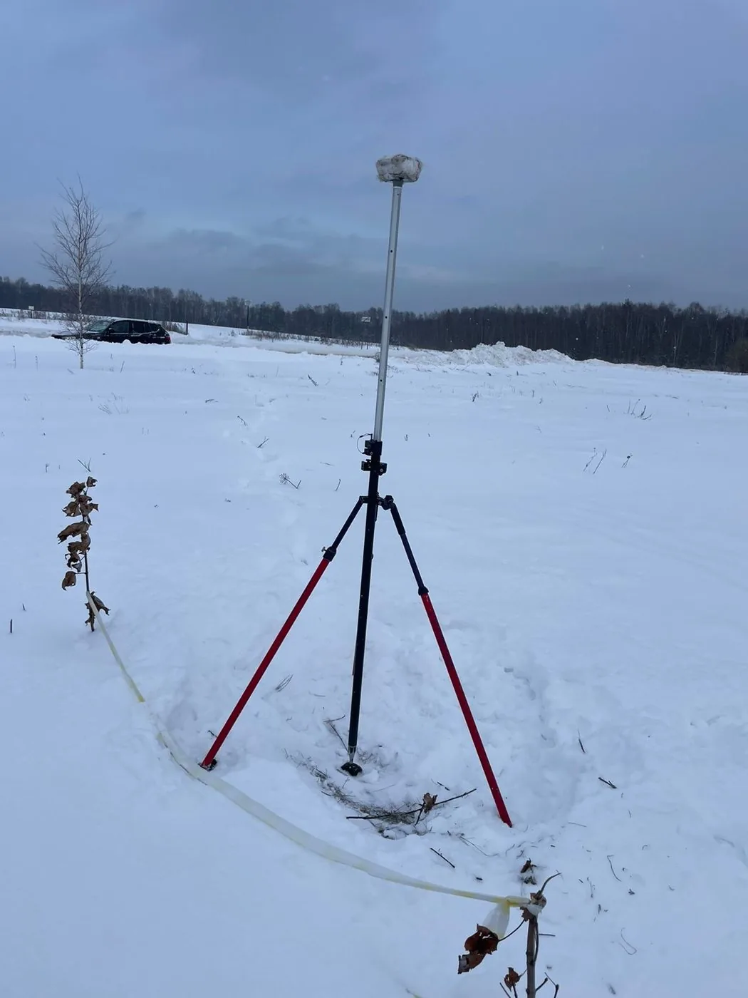
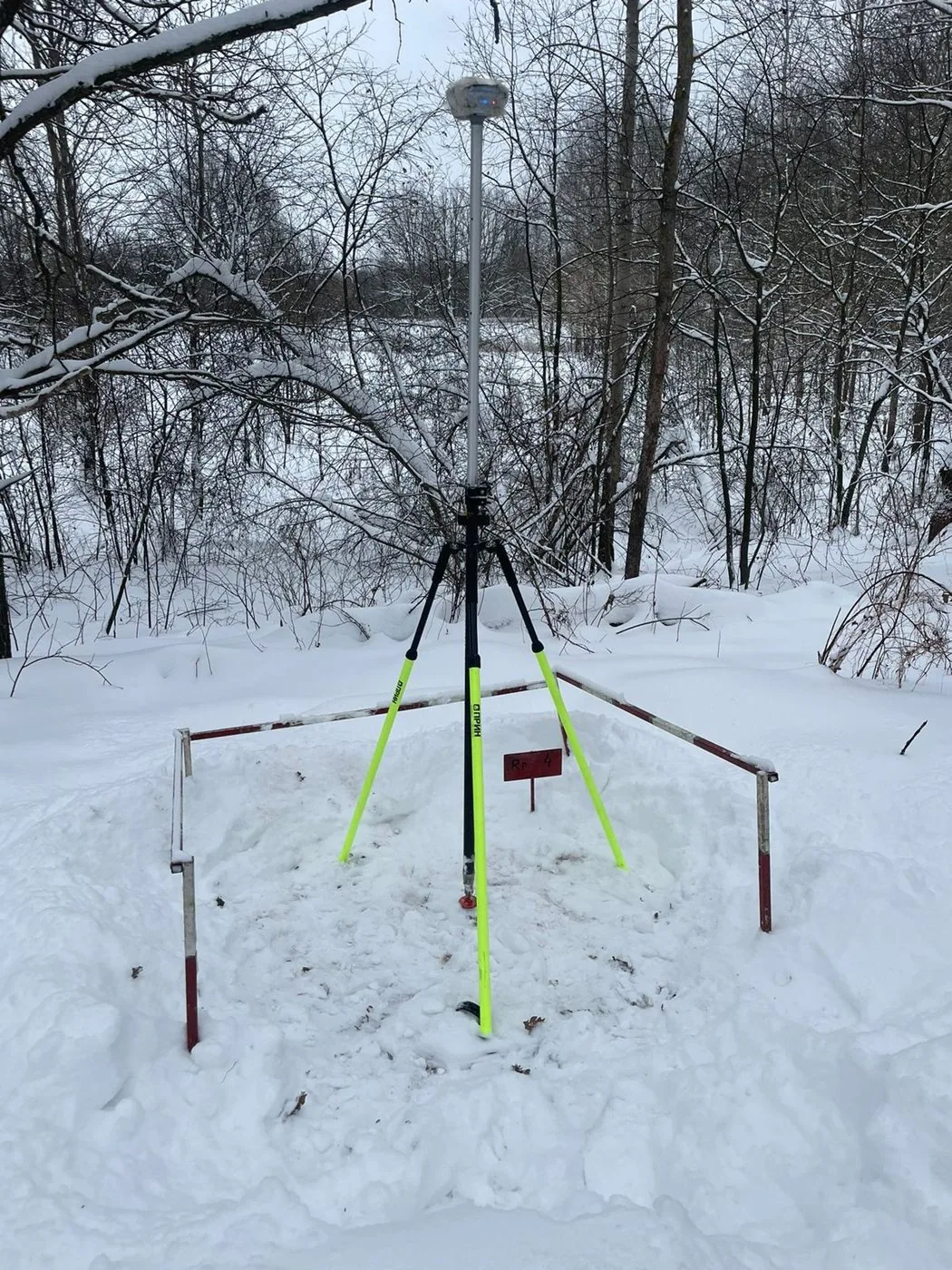
Fieldwork took place in the snow in December 2023. First, six state geodetic network monuments were inspected. Reference network monuments were installed by drilling: a 1.8 m metal pipe with a cement grout anchor below the frost line, a 2 × 2 m perimeter trench, fencing, and an identification plate. Coordinates were determined using dual-frequency GNSS receivers via static observations in MSK-33 and the Baltic Height System.

Scope of work and deliverables
TSTopographic surveys
Scope of work
- geodetic control network along a 3.5 km route: 13 permanent markers and 4 temporary markers, MSK-33, Baltic Height System
- inspection of 6 state geodetic network points, inventory schedule and inspection record cards
- static satellite observations and network adjustment, calculation of transformation parameters from WGS-84 to MSK-33
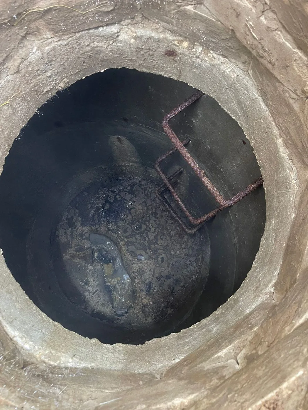
- survey of underground utilities with manhole opening and measurements, using a cable and pipe locator along cable and pipeline routes
- survey of overhead power lines, communication lines and railway catenary with determination of wire and pole elevations
Results
- A survey control network was established for the surveys and subsequent construction: a station description sheet with a photo, marker drawing and coordinates was prepared for each point, and the stations were handed over to the client.
- Of the six surveyed state geodetic network benchmarks, the condition of each is recorded on a benchmark card, with any missing surface markers noted.
- A schedule of coordinates and elevations, network adjustment reports and transformation parameter calculation reports were prepared.
- Vector plans of underground and above-ground utilities at 1:500 scale were delivered for all route sections — from urban areas to the railway and the Klyazma River.


Site photos

Result
The client received the geodetic control network benchmarks with a handover certificate, a coordinate catalogue, benchmark cards and location sketches, as well as survey sketches of underground and above-ground utilities. These materials were incorporated into the topographic survey technical report for the road design documentation.
This is just one of our projects: every year our specialists carry out surveys on 40–50 sites in Moscow, the Moscow Region, and across Russia.
Send your technical brief — we will price it the same day
If you do not have a technical brief, describe the project: site location, planned construction, and whether a design exists. We will reply with a scope of work and cost.